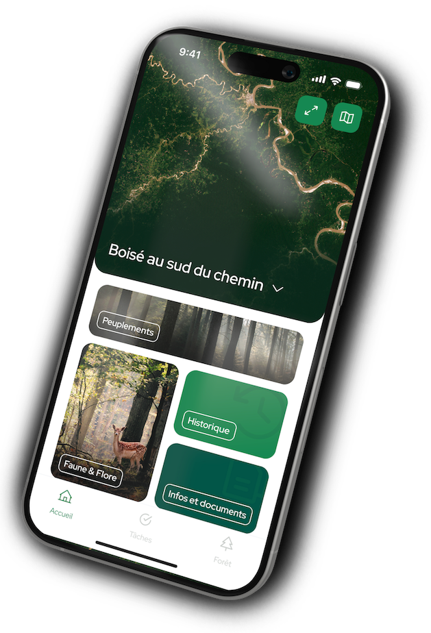
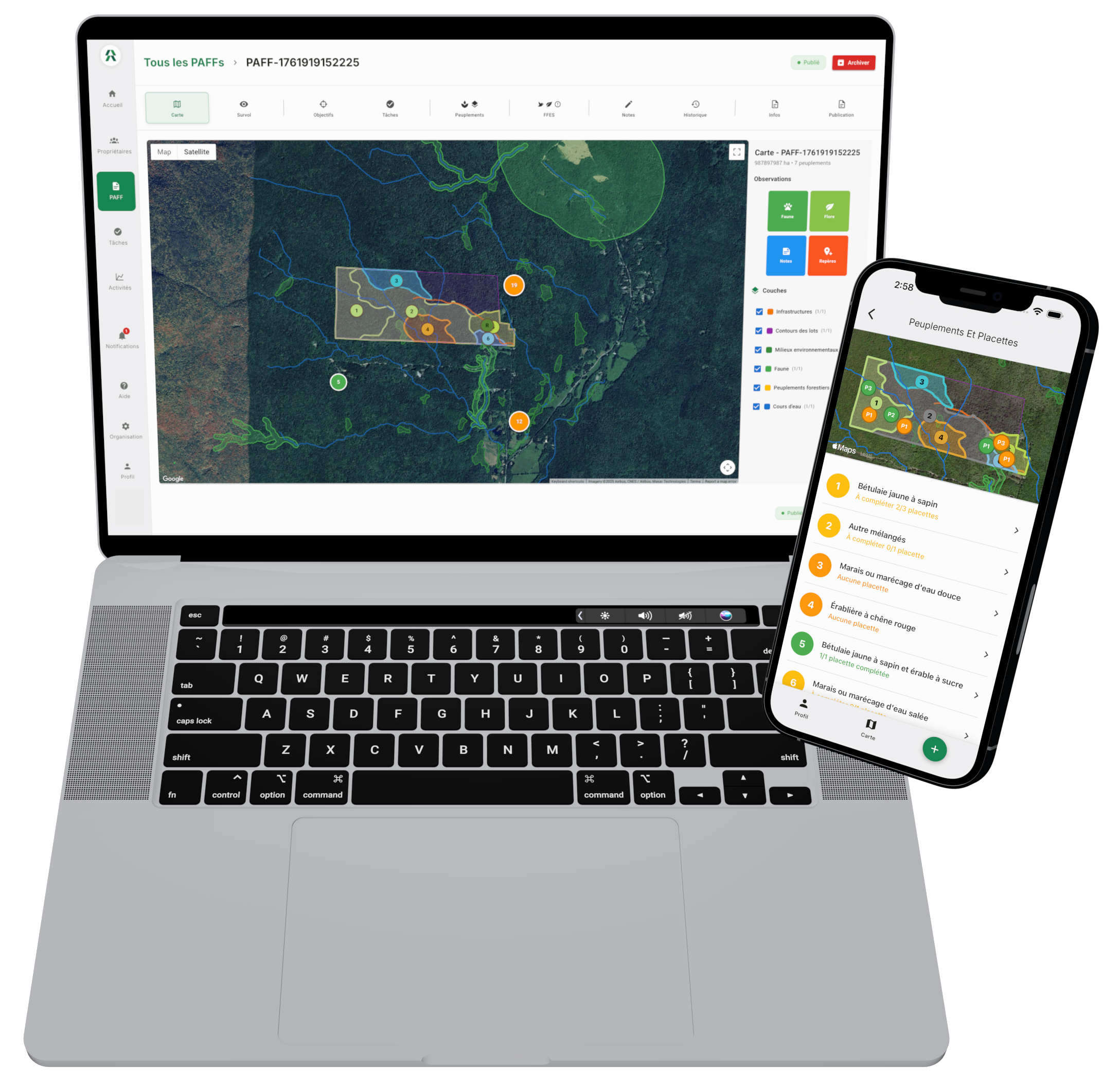
Developed in collaboration with forest engineers, Fyri redefines the experience of private forest owners by combining the forest management plan, satellite imagery, and AI in an intuitive management application.
Reconnect with nature.
Preserve beauty and biodiversity.
Harvest the right trees at the right time.
Develop a heritage that grows in value.
Receive user-friendly service — on any device.
Fyri enriches your clients' experience
and promotes more engaged management of their forests.
Reconnect with nature.
Preserve beauty and biodiversity.
Harvest the right trees at the right time.
Develop a heritage that grows in value.
Receive user-friendly service — on any device.
Fyri showcases your expertise by enriching your clients' experience.
Often the first point of contact with your clients, the FMP is essential—yet it becomes outdated quickly. We’ve transformed it into a dynamic application that your clients will use regularly!
Work as a team with your clients through a collaborative task manager. Track task completion, client annotations, and field observations in real time to better understand the evolution of their forests and identify their needs more easily. (For clients who opt for a paid plan)
Create your FMPs and maps at the office. Assign field surveys to your staff. Collect field data with a smartphone, online or offline — no tablet required. Review, modify and approve everything from your computer before sharing with the client.
Help your clients reach their objectives with quarterly-updated satellite indicators. Track tree growth, evolution of species distribution, biomass, carbon storage and detect anomalies before it's too late. (For clients who opt for a paid plan)
Your clients' forest is a long-term investment that can also generate dividends. We simplify access to certifications that offer tax credits, as well as to ecological services markets without having to put their forest under a glass dome! (coming in 2026)
Manage your FMPs in a user-friendly and unified interface. Get rid of scattered, difficult to maintain and time-consuming solutions. Spend more time with your clients (and in the forest!), and less time managing tools!
Our AI engine helps you write clear, engaging texts tailored to each client’s forest that highlight your expertise. And of course, every AI-generated proposal must be reviewed and approved by your team before being shared with your clients.
We respect your choice of geomatics platform and your competence in using it. Simply export the maps with the stands and layers you want to make visible to your clients in shapefile format, and import them into Fyri when creating an FMP.
Reserved for certified forest engineers, foresters and advisors, following account approval.
Absolutely not! Fyri supports your skills by combining the FMP, satellite imagery, and artificial intelligence in a forest management application that facilitates client retention by improving their experience.
Our AI-assisted writing assistant generates proposals that you can accept, modify, or reject. No proposal is ever sent to a client without your approval — that remains entirely your prerogative.
No. Only a qualified forest professional whose account has been approved by Fyri can create an FMP before sharing it with their clients.
Owners benefit from a free plan with no time limit, allowing them to download their FMP in PDF format and view it in the application.
More advanced features—such as quarterly satellite date updates, a collaborative task manager, and more—are available through affordable monthly plans. Your client is free to choose the plan that best suits their needs.
We designed Fyri for owners motivated by enjoying their forest, maintaining a healthy woodlot, making long-term investments, and practicing selection cutting when needed.
Yes, an FMP is required or must be planned soon. This is an excellent opportunity to encourage them to produce an FMP by offering an enhanced experience!
If your clients’ FMPs are already in a structured database, we will work with you to integrate them into Fyri. Depending on the complexity, fees may apply.
Contact us to discuss!
Yes. Fyri does not impose built-in GIS tools, because we know each engineer has their preferences. We import your maps in shapefile format, leaving you the choice of tool.
Yes! Our FMP model was developed in collaboration with forest engineers and meets the requirements of the Government of Quebec.
Complete the form and we will contact you to arrange a demonstration. Fyri is reserved for forest engineers, after validation.